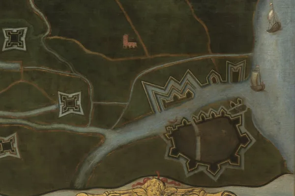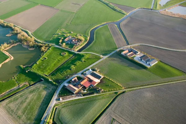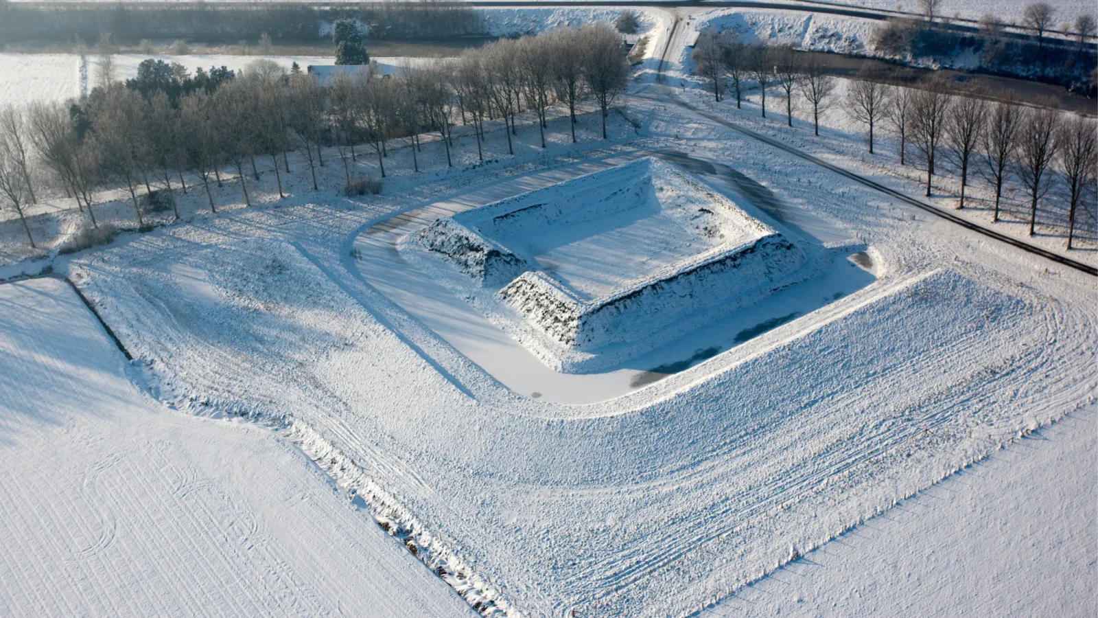

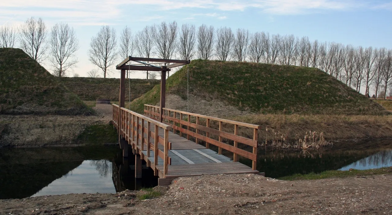
De redoute Berchem is een vierkant fort met aarden wallen, omgeven door een gracht en voorzien van een wachtgebouw en logementen. Tijdens een pestepidemie in 1666 wordt het fort ingericht als onderkomen voor zieke militairen afkomstig uit de vesting Retranchement. Tegen het einde van de 17e eeuw wordt het fort opgeheven en gesloopt.
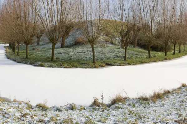
Fort Berchem is in 2010 gereconstrueerd aan de hand van archeologisch onderzoek. Hierbij worden grachten als ook resten van een beschoeiing of lichte brugconstructie gevonden. Centraal op het binnenterrein treft men overblijfselen van een ronde bakstenen waterput aan.
Het gereconstrueerde fort is vrij te betreden.