De Passageulelinie doet vanaf 1672 dienst als belangrijkste linie in West-Zeeuws-Vlaanderen. Het is vooral Menno van Coehoorn die de Passageule rond 1700 uitbouwt tot belangrijke schakel in de door hem ontworpen waterlinie tussen ’t Zwin en Saeftinghe.
Op de noordoever van de Passageule lagen verschillende verdedigingswerken. De eerste fortificaties worden aangelegd tussen 1672 en 1695 en bestaan uit wachthuizen en redoutes. Voorbeelden zijn Klein Turkeye en Schaapstelle. De van oorsprong Spaanse schans Drie Gaten en redoute Groot Turkeye worden opgenomen in de nieuwe linie.
In 1702 laat Van Coehoorn de Jufferschans onder IJzendijke versterken. Ten westen van het fort Turkeije legt hij drie redoutes aan: Het Vrije, Middelburg, Constantinopel. In de Franse Tijd wordt de linie ontmanteld en gebruikt als afwateringskanaal. In 1944 zetten de Duitsers het Passageulegebied voor een laatste maal onder water.
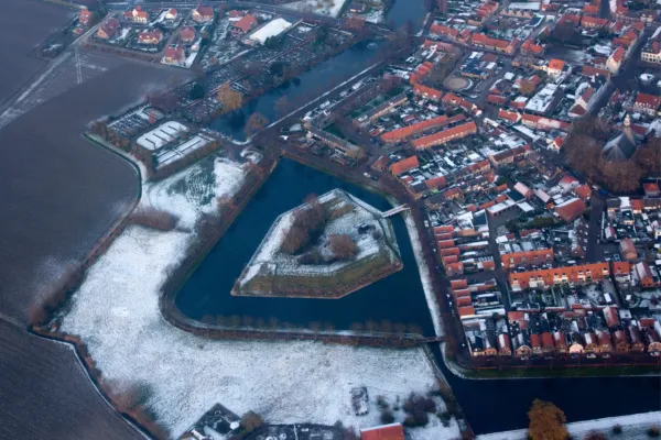
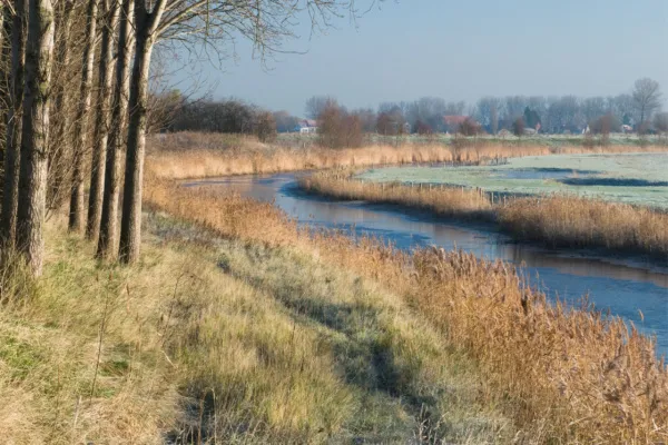
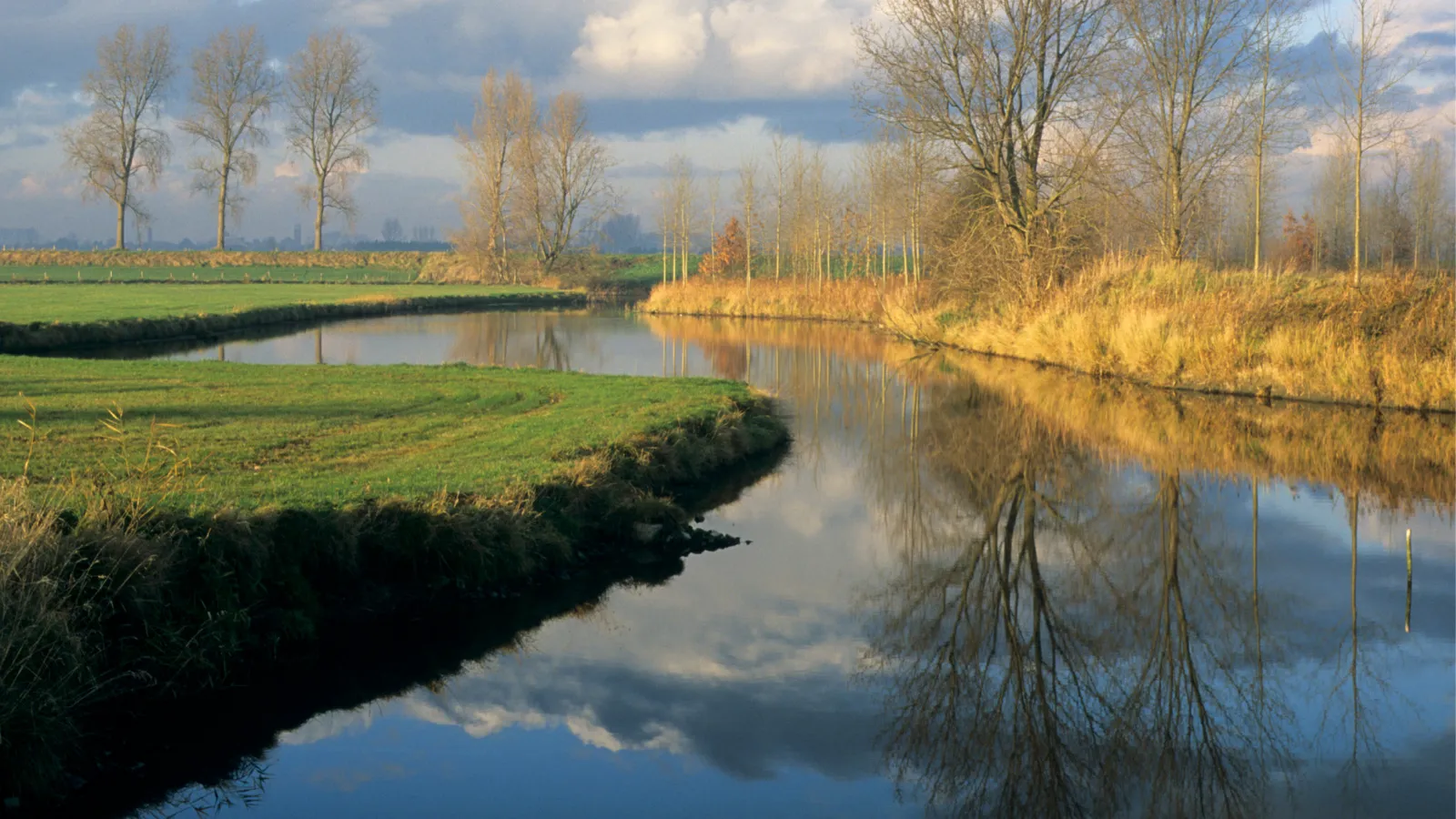
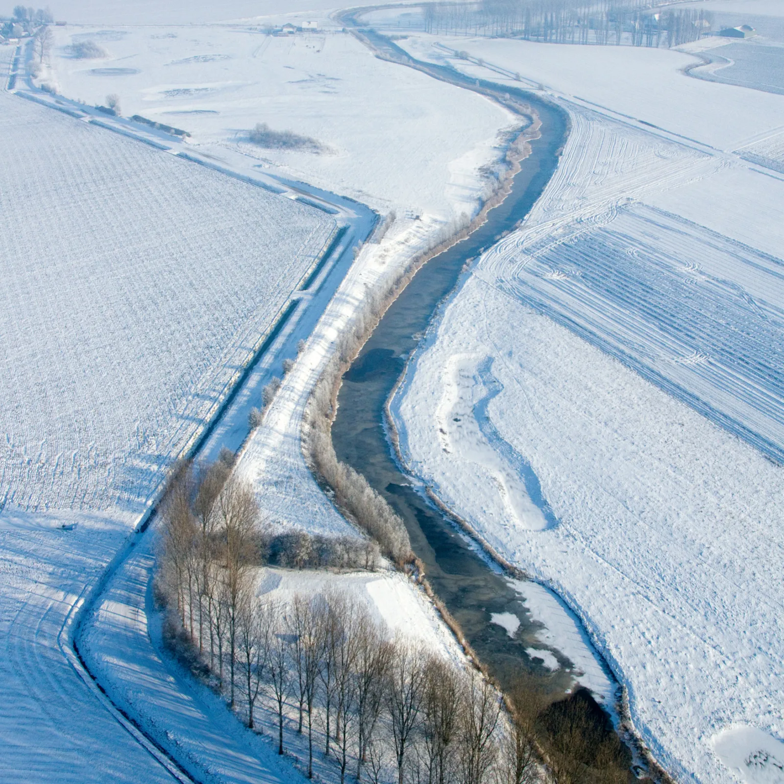
De Passageulekreek kronkelt nog altijd goed herkenbaar door het landschap. Op een aantal plaatsen zijn de locaties van voormalige fortificaties zichtbaar gemaakt.