The Koningsdijk was constructed in 1673 on the border between the Southern Netherlands (later Belgium) and the Republic of the Netherlands. This border was determined by the positions of the fighting parties at the end of the Eighty Years’ War in 1648. At the end of the war, Hulst was conquered by the Hollanders while the Land van Waas remained in Spanish hands. Level with the Klinge, it was decided that the land border should be the same as the previous border between the Land van Waas and the Hulsterambacht. In this period, there was not yet a natural border and the administrative border passed straight through the polder.
During the Hollandse War (1672-1678), the Republic came into conflict with the powerful France. Hulst feared an invasion and had the dykes around the town opened to strengthen the stronghold. This meant that the lands along the Spanish side of the border were also flooded. This inspired the local polder to start making a dyke on the border which would prevent the Hollanders being able to flood their land.
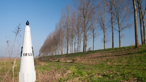
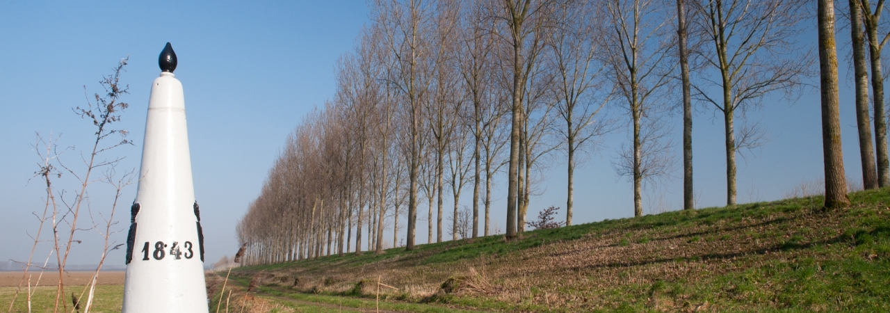
With the construction of the Bedmar line in 1701, the Koningsdijk was strengthened and incorporated in the borderline. The Koningsdijk formed the link between the Bedmar and Verboom forts. The dyke was also preserved after the War of the Spanish Succession due to the continued threat of flooding. Today on the crown of the dyke, there is a recreational cycle path with a lovely view over the polders on both sides of the border.
