Alexander Farnese, the later Duke of Parma, who was sent to the Netherlands by the Spanish king to put down the Revolt, invaded northern Flanders in 1583. In order to block his advance, the rebels breached several dykes, thus flooding the hinterland (inundations). In 1584, this was the sea dyke along the Honte (now Western Scheldt) near Campen. Due to the action of the ebb and flow, a large stream was created: the Hellegat, which separated the Land of Hulst from that of Axel. In 1586, the dyke along the Braakman between Sas van Gent and Terneuzen was opened. This meant that the Braakman could expand eastward, creating the Axelsche Gat, which eventually joined the Hellegat. The Land of Axel became an island!
Due to the eroding action of the tide, an extensive slib and salt marsh area was created over the years to the south and east of the Land of Axel, crisscrossed with streams and channels. It formed a wide no man’s land between the States in the north and the Spaniards in the south and east (Hulst).
After Sas van Gent and Hulst definitively fell into the hands of the northern Netherlands in 1644/1645, the polders on the other side of the Axelsche Gat and Hellegat also became States territory. The slib and salt marsh area in between formed a perfect water barrier against any attacks from the south.
But the streams silted up, as did the marshland. From the second quarter of the 17th century, land reclamations took place from the south. Midway through the 18th century, the remaining marshlands were so silted up that they no longer constituted an obstacle.
It was decided to totally reclaim the area, leaving open the possibility to be able to flood the area via the locks (inundate) in the event of a threat of war. Thus the polders to the south of the Land of Axel became part of a water line that extended from the Zwin to Hulst (and from Hulst to the Scheldt).
In 1789, the eastern part of the slib and salt marshland was the first to have a dyke. The closure of the Hellegat created the large Riet- en Wulfsdijkpolder. The Land of Axel was no longer an island. Locks were built at the end of the dam: in the north near Luntershoek the Hulstersas (a lock cum inundation lock) and in the south near Reigersbosch an inundation lock.
In order to guard the strategically crucial locks, batteries were constructed on the banks. Batteries are installation sites for guns (canons). In this case, high wide embankments which were open from the back. The canons were placed behind a parapet with holes for shooting.
In 1794 when the French invaded the Southern Netherlands (and also Staats-Vlaanderen, what is now Zeeuws-Vlaanderen), the water line barely worked and there were too few troops to defend the line. In the French Period, the inundation locks and associated batteries fell into disrepair.
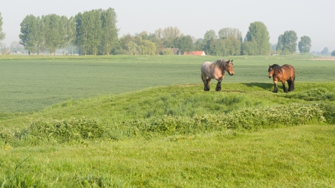
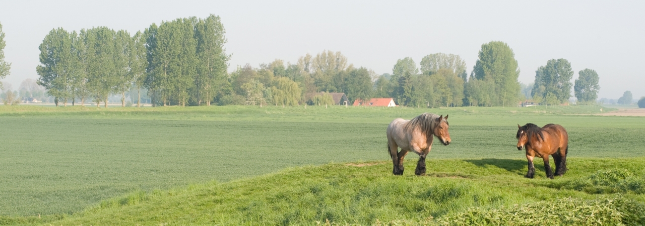
Part of the battery can still be recognised by the strangely angular dyke which apparently lies in the middle of the fields against the old sea dyke. The lock is still present and is hidden under the road and the former dam.
