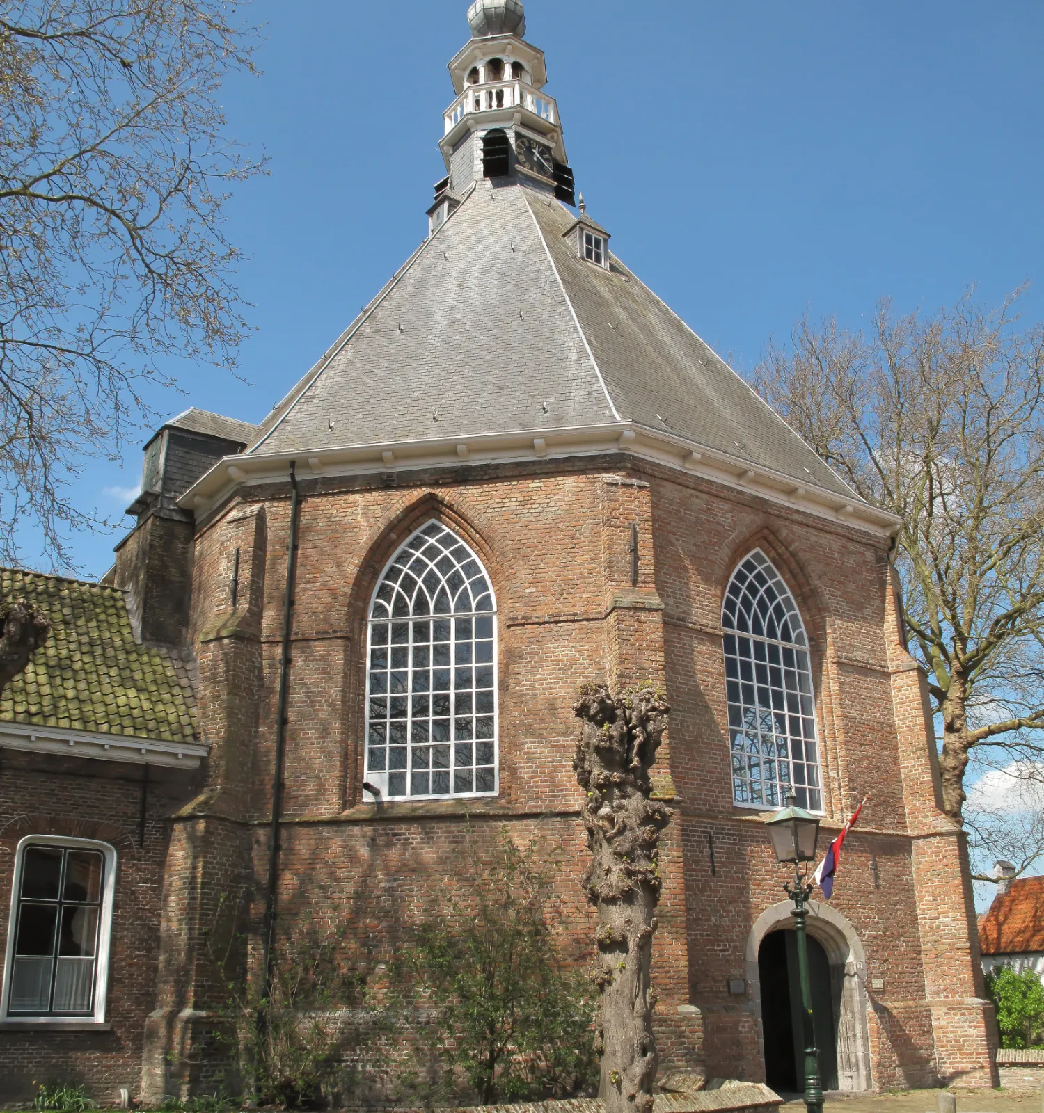
Mauritskerk IJzendijke
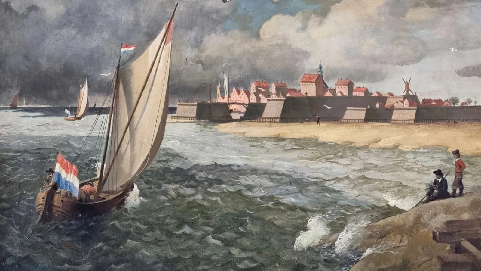
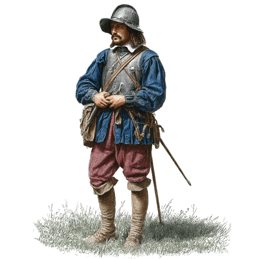
De Mauritskerk in IJzendijke is het oudste protestantse kerkgebouw in Zeeland en het op één na oudste kerkgebouw in Nederland dat is gebouwd voor de protestantse eredienst. Met de bouw van de kerk is in 1612 begonnen en in 1614 is de kerk in gebruik genomen. Destijds was het Prins Maurits die het fort IJzendijke veroverde op de Spanjaarden en hij was ook de waarschijnlijke initiatiefnemer voor de bouw van de kerk. De kerk wordt daarom ook wel de ‘Soldatenkerk van Prins Maurits’ genoemd.